- 7:00 h
- 21.60 km
- 293 m
- 293 m
- 134 m
- 258 m
- 124 m
- Start: Parking lot no. 9 at Bredenweg in Brakel
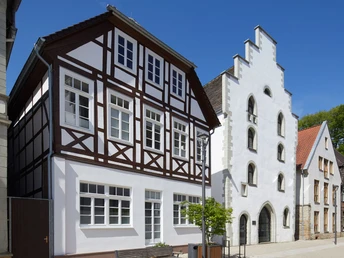
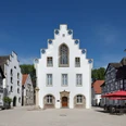
The circular trail no. 3 begins in Brakel on Bredenplatz square. You cross the Bredenweg and walk through the town wall into the historic town centre.
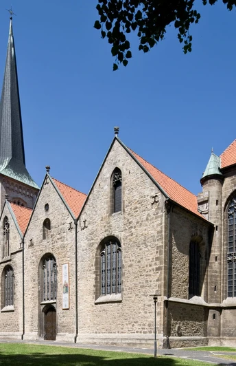
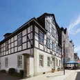
From the church square of St. Michael's parish church, you walk along Thystraße. The castle of the House of Brakel stood on Thyplatz in the Middle Ages. The square in front of the castle, called "Thy", was historically the first central square and served as the "Thing", i.e. the place of the court meeting in the town court. You walk out of the town along the fire pond.
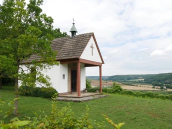
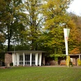
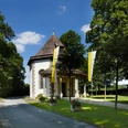
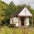
The path now leads you gently downhill into the Aa valley to Istrup. From the Heimkehrerkapelle chapel on the edge of Istrup, you have a wonderful view of the town. The hiking mushroom on the way to Schmechten invites you to take a break before you hike to Schmechten.
On the way to Riesel, you will pass the "Rieseler Kapelle" chapel, which offers a surprising view of the wide Brakel valley basin and its peripheral heights. You walk back to Brakel through Riesel.
Deviating paths/shortcuts are not maintained by the town of Brakel.
Waypoints
Good to know
Pavements
Best to visit
Directions
The hike begins at parking lot 9 on Bredenweg in Brakel.
Cross Bredenweg towards the town center and enter the historic town center through an opening in the town wall.
From the church square, you come to Thystraße. Turn right onto Thystraße, cross Nieheimer Straße and reach Bohlenweg . The Bohlenweg leads through Westerlindensiek to Flechtheim.
The path goes up the Rustenberg, leads gently downhill into the valley of the Aa, through the wood garden and crosses the B 64 bypass. Cross the four-arched bridge over the Aa to reach the center of Istrup. From the village road, Johannes-Allerkamp-Straße branches off to the right, leading uphill to the edge of the Spitzenberg state forest.
Now the hiking trail begins through the Schmechten state forest. You soon reach the village of Schmechten.
On the way to Riesel, the trail crosses the Triftholz and leads down the Mühlenberg to the village.
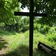
The way back to Brakel leads up the slope of the Knuttenberg, crosses the railroad tracks and leads through the Siek to the Westerlinden cross. The Bohlenweg takes you back to the town center and to the starting point, the parking lot on Bredenweg.
Tour information
Loop Road
Stop at an Inn
Equipment
Directions & Parking facilities
Autobahn A 44 (Dortmund-Kassel), take the Warburg exit onto Ostwestfalenstraße 252 towards Brakel
From Paderborn via the B 64 federal highway to the Brakel junction
Ostwestfalenstraße 252 coming from Lemgo take the 1st exit, coming from Warburg take the 3rd exit Brakel. Follow Nieheimer Straße until the 1st junction, then turn left onto Bredenweg. The parking lot is on the left side.
Additional information
Tourist Information, Am Markt 5, 33034 Brakel / Telephone no. 05272 - 360 - 1250
tourist-info@brakel.de
www.brakel.de
Contact person
Tourist Information Brakel
License (master data)
Tourist Information Brakel
Author´s Tip / Recommendation of the author
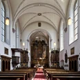
In addition to the baroque-style interior, the Bartholomew Church in Istrup also has a special treasure, the "Madonna in the Radiant Wreath".
Visit the "Mead Fountain" in Schmechten. The water of the "Metbrunnen" was much loved and praised in the past centuries. As the spring water supposedly tasted honey-sweet, like mead.
Map
