

- 45:00 h
- 163.10 km
- 3,228 m
- 2,810 m
- 30 m
- 441 m
- 411 m
- Start: Rheine, Tourist Information
- Destination: Horn-Bad Meinberg - Lippischer Verlmerstot summit
Did you know? Its name comes from Hermann the Cheruscan, who defeated the Roman general Varus in the year 9 AD and defeated three Roman legions.
A brief overview of the route:
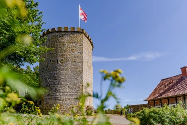
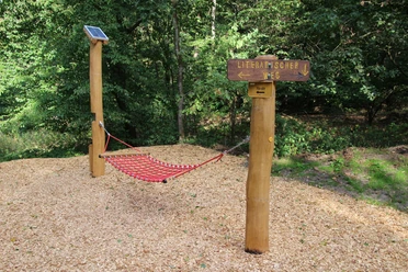
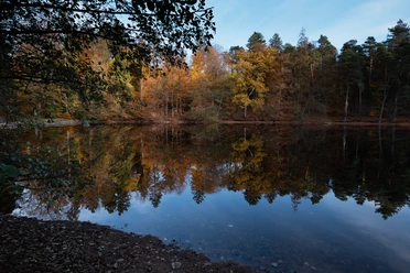
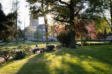
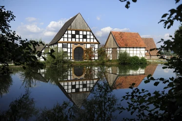
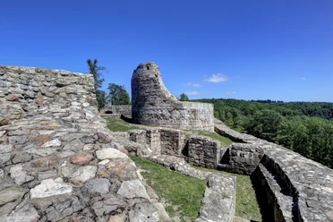
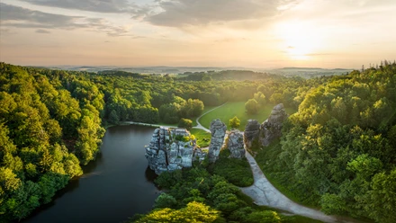
The approximately 163 km long Hermannsweg runs along the ridge of the Teutoburg Forest and 85 percent through the two nature parks "TERRA.vita" and "Teutoburg Forest/Eggegebirge". With its mountain ridge interrupted by numerous valleys, the trail offers a varied elevation relief with great views of the Münsterland park landscape, the Westphalian Bay or towards the Weserbergland. It begins in the Münsterland parkland in Rheine and leads to Horn-Bad Meinberg over altitudes of 100 to 441 meters. Shortly before it ends in Leopoldstal, you reach the highest point of the tour, the 441 m high rocky outcrop of the Lippische Velmerstot, from where you have a wonderful view of the surrounding area. The route leads through beautiful towns such as Tecklenburg, Bad Iburg, the metropolis of Bielefeld and Oerlinghausen. In addition, many historical sights and attractions line the route.
#sights along the Hermannsweg:
- The Dörenther Klippen
- The Witches' Kitchen
- The Externsteine
- The twin peaks of Velmerstot
- The Hermannsdenkmal
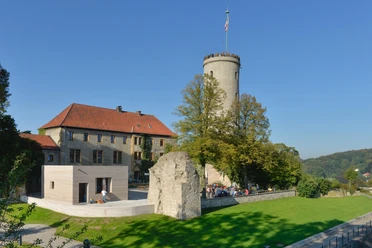
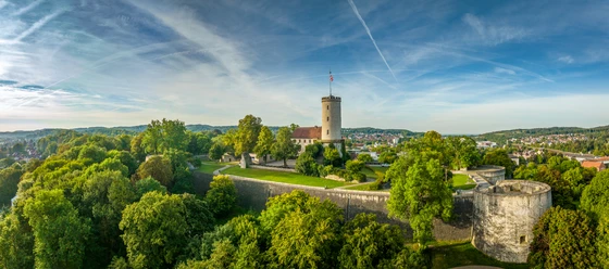
- The Sparrenburg in Bielefeld
- The Adlerwarte Berlebeck
- Ravensberg Castle near Borgholzhausen
Start: Rheine
Destination: Horn-Bad Meinberg
Route: 162.76 km
Time: 9 daily stages
Difficulty level: medium
Disturbance reports:
Current fault messages can be found here: https://hermannshoehen.teutoburgerwald.de/service-partner/wanderservice/aktuellesA good interactive tour map of the whole trail can be found here:
https://www.outdooractive.com/de/route/fernwanderweg/teutoburger-wald/auf-den-hermannshoehen-der-hermannsweg/1379453/








Pavements
- Unknown (4%)Street (2%)Asphalt (8%)Gravel (33%)Trail (38%)Path (16%)
Best to visit
- suitableDepends on weather
Directions
- The Hermannsweg is consistently marked in both directions with a white "H" on a black background. The markings are mainly provided on a voluntary basis by the Teutoburger-Wald-Verband hiking association.
Hiker-friendly accommodation along the Hermannshöhen is designated as a "Hermannshöhen quality establishment" and marked as a recommendation in the stage suggestions.
The stage suggestions are on average 20 km long. Of course, you don't have to hike according to these suggestions!
In addition to the start and end points of the stages, there are many other attractive places along the trail where you can start.Tour information
Climbing Site
Cultural Interesting
Good Connection to public Transport
Labelling
Multiday Tour
Nature Highlight
Possibility of Accommodation
Premium Trail "Wanderbares Deutschland"
Stop at an Inn
Suitable for Winter
Tour with Dog
Equipment
We recommend good hiking boots, a camera and weatherproof clothing for this tour. There are few places to stop for refreshments along the way. So take plenty of provisions with you!Directions & Parking facilities
Getting thereA30 to "Rheine" (follow signs for city center to train station)ParkingParking garage "Am Bahnhof" (P3, open all day).Public transportationRheine station (also long-distance services Hanover-Amsterdam).Other stations with access routes to the Hermannsweg: Hörstel, Ibbenbüren, Lengerich, Hilter, Dissen/Bad Rothenfelde, Borgholzhausen, Halle/Westphalia, Steinhagen, Bielefeld, Oerlinghausen, Lage/Lippe, Detmold, Horn-Bad Meinberg, Leopoldstal.
Attention: between Tecklenburg and Bad Iburg is the state border of Lower Saxony/NRW. Unfortunately, the transport associations also change here, so there is no direct line between the towns. Please refer to the information on our website!
Always know what's running: The smart number for buses and trains in NRW:
08006 - 50 40 30 (free of charge from the German landline network).Additional information
Literature
Hikeline long-distance hiking trail: Hermannshöhen (Hermannsweg-Eggeweg)
Date of publication: 2022 (4th edition)
. Edition)
Overall route Hermannshöhen (250km): scale 1: 35 000, weatherproof
Hiking map, city maps, list of overnight accommodation, elevation profile, thread stitching
ISBN: 978-3-85000-767-2
Price: €12.90, in bookshops
OUTDOOR hiking guide: Hermannsweg-Eggeweg
Publication date: March 2019 (4th edition)
Outdoor hiking guide: Hermannsweg-Eggeweg
. Edition)
About the Hermannshöhen - interesting facts, accommodation, sights, stages, elevation profiles, hiking maps
ISBN: 978-3-86686-621-8
Price: €12.90, in bookshops or at the publisher's webshopContact person
Projektbüro der Hermannshöhen
Wilhelmstraße 1b33602 BielefeldLicense (master data)

Safety guidelines
This tour has far more than 500 waypoints. When using a GPS device, please ensure that the track is displayed in full! Stage suggestions for the Hermannsweg can also be found here in the TEUTO_Navigator under the search term Hermannshöhen stages.Map
Kompass hiking tour map Hermannshöhen - Eggeweg and Hermannsweg
Date of publication: 2021
Leporello: Scale 1:50.000, waterproof, tearproof, GPS-accurate
City maps, elevation profile, information on places of interest, list of overnight stays, refreshment stops
ISBN: 978-3-85026-984-1
Price: €8.99, via bookshops
Hiking map Lippe - Land of Hermann
Hermannsland
published: June 2022
Hiking map: scale 1:25,000, folded
Augustdorf, Detmold, Horn-Bad Meinberg, Lage, Oerlinghausen, Schlangen
ISBN/EAN: 978-3-89710-619-2
Price: €9.90, in bookshops