Startpunkt GPS-Pfad "Auf Gräflichen Spuren"


The Bad Driburg GPS trail - experience the spa, history and nature
The GPS trail in Bad Driburg introduces us to the state-approved peat and mineral spa Bad Driburg and shows us the connections between the natural resources, their current use and their significance for the history of the town. We learn details from the history of the Counts of Oeynhausen-Sierstorpff: Caspar Heinrich von Sierstorpff founded the spa at the end of the 18th century, whose mineral-rich springs were supposedly already being used by the Romans. Von Sierstorpff built up a successful spa business: In addition to the mineral-rich healing water, moor clay from the nearby Satzer Moor was also used. The warm mud packs promised relief for rheumatic complaints and musculoskeletal disorders. The spa is still owned by the Count von Oeynhausen-Sierstorpff family today, making it the only private spa in Germany. Between treatments, spa guests enjoy the beautiful 64-hectare Count's Park, which has been voted one of the 10 most beautiful gardens in Germany several times and also enjoys international recognition. Attached to the Gräflicher Park is a 7.5-hectare wildlife park which, with its beech forest vegetation and fallow deer population, represents a typical habitat in the Teutoburg Forest / Eggegebirge Nature Park. Directly adjacent to the Bad Driburg Golf Club is the Driburg thermal spa, which opened in 1994 and is popular with bathers, with its 32°C warm thermal water. Inspired by ancient Roman thermal culture, the bathing and sauna world of the Driburg Therme invites you to relax and unwind. Finally, our route leads to the Bad Driburg nature park springs, where the region's popular mineral water is extracted and bottled - the ideal thirst quencher for hikes through the nature park.
Good to know
General information
Parking Available
Payment methods
Entrance Free
Directions & Parking facilities
Drive east on the B64 for about 7.5 kilometers. Then turn left onto Brakeler Straße (signposted towards Nieheim / Bad Driburg) and follow the road for 1 kilometer.
The route then turns into Brunnenstraße. After about 140 meters, turn left into Bahnhofstraße.
After about 30 meters you will find the starting point of the GPS trail "Auf gräflichen Spuren" on the left-hand side.
The route then turns into Brunnenstraße. After about 140 meters, turn left into Bahnhofstraße.
After about 30 meters you will find the starting point of the GPS trail "Auf gräflichen Spuren" on the left-hand side.
License (master data)
Bad Driburger Touristik Information GmbH

Nearby
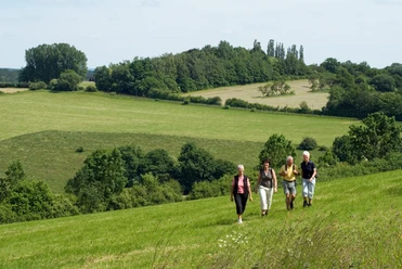
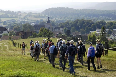

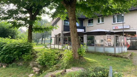
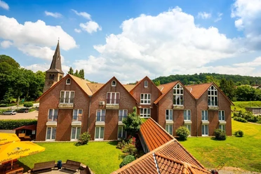
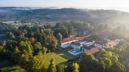

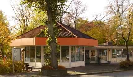


Photo Gallery