Landesgrenze Warmenau

This border between North Rhine-Westphalia and Lower Saxony is strange: on the map you can see a curved course of the state border, which runs along the relatively straight Warmenau. Of course, the border and the river used to have the same course - as on many other bodies of water. In the 1930s, however, the small river was heavily straightened in places - but the course of the border was not adjusted. In the Greater Germany of the Nazi era, national borders played no role and many cross-border projects were pushed through regardless of local interests. After the war, people had other things to worry about than adjusting a border that had not been straightened. Today, you can walk along the water and change state several times in a short space of time!
Historical boundary stones can still be found at some of the Warmenau crossings. These are located on the former border line between the kingdoms of Prussia and Hanover from 1837. The original boundary stone at this point on Meller Straße was visibly walled into the south-western bridge wall when the bridge was built.
Further information: www.fahr-im-kreis.de

Good to know
Payment methods
Entrance Free
Directions & Parking facilities
The Warmenau state border forms the border between NRW and Lower Saxony. It can be reached via Meller Straße, for example.
More information
Always know what's going on - a free number for all occasions: Bus and train customers in NRW can call 08006 50 40 30 around the clock for fare information, timetable information and more.
License (master data)

Nearby


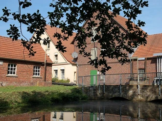
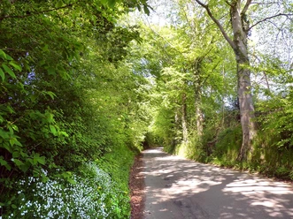


Photo Gallery