- 2:15 h
- 8.04 km
- 132 m
- 132 m
- 136 m
- 200 m
- 64 m
- Start: House of the guest, Lage-Hörste
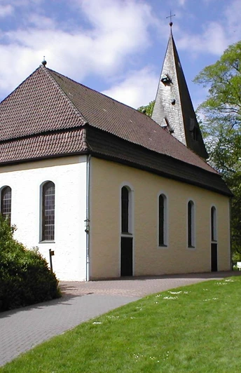
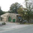
Traces of history can be found in every region, especially in every village or urban landscape. In this sense, every landscape is a mirror of the past, present and future of its inhabitants. The "Historical Hiking Trail" in Lage-Hörste has set itself the task of making the historical past of Hörste accessible to the interested layman. This is done using the example of the Hörste farms.
Since the redistricting in 1970, the district of Hörste has belonged to the town of Lage. For centuries, Hörste was a farming communityand an independent political municipality. Today, Hörste also includes the old districts of Hiddentrup and Stapelage. From a large-scale perspective, Hörste is located in the area of the northern Teutoburg Forest, bordered to the north by the Lipper Bergland, to the south by the Bielefeld Osning and the Egge, to the west by the Ostmünsterland and to the north-west by the Ravensberger Mulde. The spelling of Hörste was initially "Hursten" (1188), later "Horsten" (1262) and initially meant bushes, coppice, later low scrub. The name can be explained by the landscape of the time.
Waypoints
Good to know
Best to visit
Directions
Tour information
Loop Road
Stop at an Inn
Equipment
Directions & Parking facilities
Additional information
Literature
License (master data)
Author´s Tip / Recommendation of the author
Safety guidelines
Map
