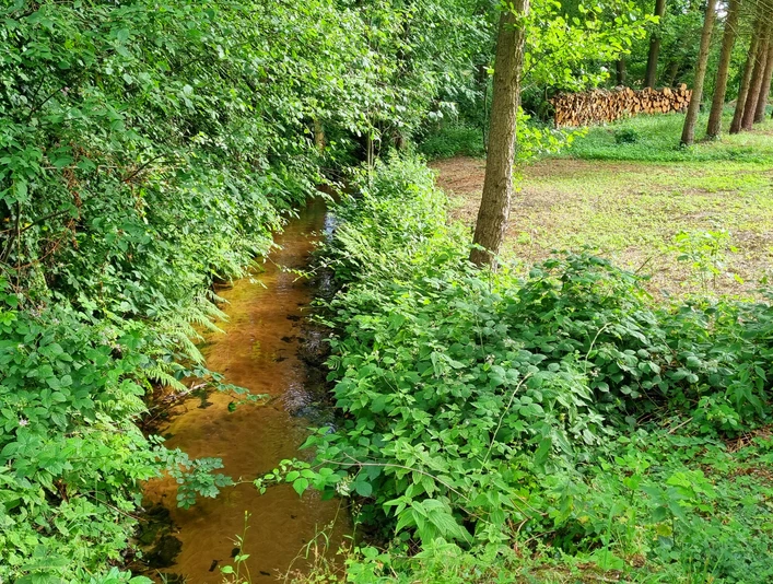
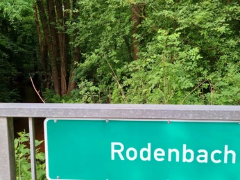
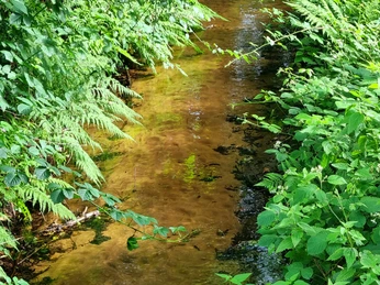
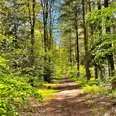
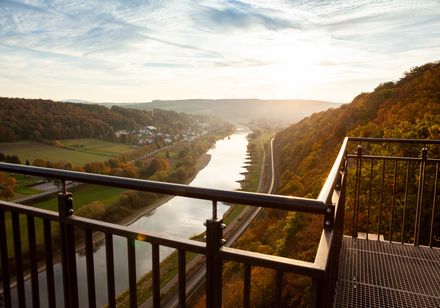
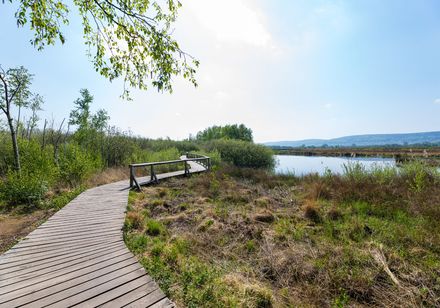
The almost 13-kilometre-long Rodenbach has its source in the Stukenbrock district of the town of Schloß Holte-Stukenbrock in the area between Paderborner Straße and Tölkenweg not far from the Wehrbachtal valley. On its way to its mouth in the Wapel, the stream, which runs parallel to the Wapel, primarily flows through meadows, pastures and woodland. It also passes the southern edge of the Holter Forest before entering the urban area of Verl. There it flows into the Wapel in the Grasmeerwiesen nature reserve. The Rodenbach is one of the Senne streams in which the nationally endangered fish species bullhead and brook lamprey are found. Rodenbach and Wapel are particularly worthy of protection due to these occurrences and their equally endangered habitat type "alder, ash and softwood alluvial forests".
Good to know
General information
Bus stop available
Directions & Parking facilities
The Bielefeld - Paderborn train line takes you directly to Schloß Holte-Stukenbrock.
You can find your travel options by public transport via OWL-Verkehr https://teutoowl.de/owlv/.
Schloß Holte-Stukenbrock is easily accessible by car via the A33 highway with two highway exits (Schloß Holte-Stukenbrock and Stukenbrock-Senne).
https://www.owlmobil.info/app/ App for various mobility offers
License (master data)
Stadtverwaltung Schloß Holte-Stukenbrock
Nearby
