Aa-Quelle - Langeland

The Aa in Reelsen: origin, course and special features
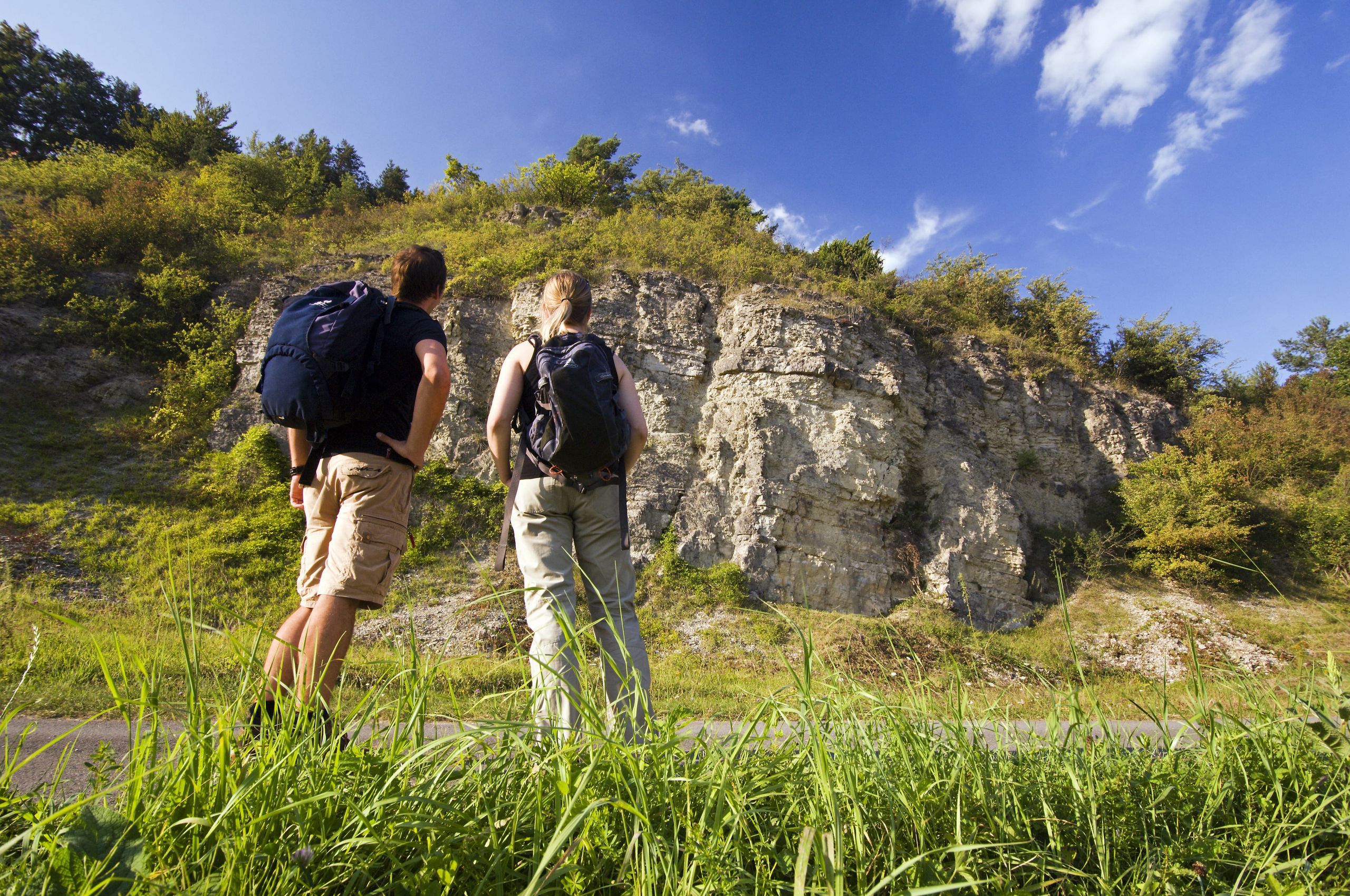
The Aa characterizes the eastern edge of the village of Reelsen. It rises on the Rehberg west of Langeland and flows south-east through the entire hiking area of Bad Driburg. Hikers cross it on various hiking trails, e.g. the Jakobspilgerweg, the Hölderlinweg, the Friedrich-Wilhlem-Weber-Weg or the Koerferweg. It was once used to power the mill wheels of the Reelser and Alhauser mills. A special feature is the unknown right tributary, a few hundred meters long, at the southernmost point of the Johannes Gelhaus path near Reelsen. As a source of lime tufa, it forms small sinter terraces with the help of mosses. It dries out completely in summer.Good to know
Openings
The Aa-Qulle can be visited at any time.
Price info
free of charge
General information
Parking Available
Bus stop available
Payment methods
Entrance Free
Directions & Parking facilities
By car:
If you are coming from Bad Driburg, 33014, follow Dringenberger Straße and Lange Straße until you reach Pyrmonter Straße. After Pyrmonter Straße, follow Nordfeldmark, L954, Detmolder Straße and again L954 to Zum Bogen. Then it is only 950 meters to Aa-Quelle.
By bus:
If you prefer to travel by public transport, get on the R76 bus at Bad Driburg, Rathaus, "Steinheim, Krankenhaus Wendeplatz" and get off again in Langeland at the "B.D.-Langeland, Kirche" stop. From there it is about a 30-minute walk to the Aa spring.
License (master data)
Bad Driburger Touristik GmbH

Nearby
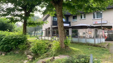
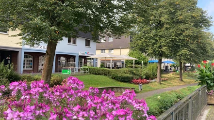
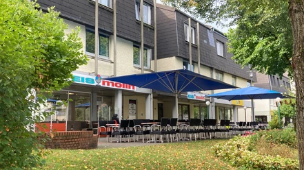
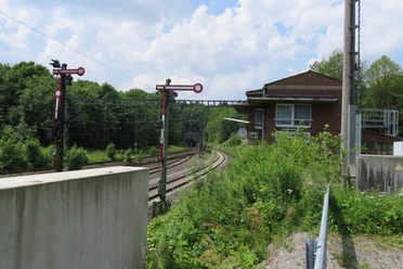
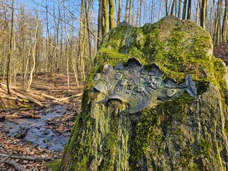


Photo Gallery