- 1:20 h
- 3.76 km
- 56 m
- 56 m
- 182 m
- 216 m
- 34 m
- Start: Bad Meinberg bus station
- Destination: Bad Meinberg bus station
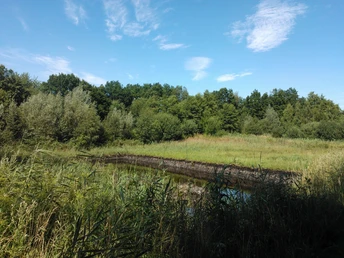
The history of the town of Horn- Bad Meinberg is closely rooted in the healing sulphur moor, which can still be visited in Bad Meinberg. Find out more about moor construction, its former use for healing purposes and the sustainable restoration of moor habitats worthy of protection.
Waypoints
Good to know
Best to visit
Directions
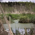
Over 3.6 km, this circular trail leads to the moor extraction and follows the path of our natural remedy - from extraction to application in the moor bath with five stations:
- Bus station
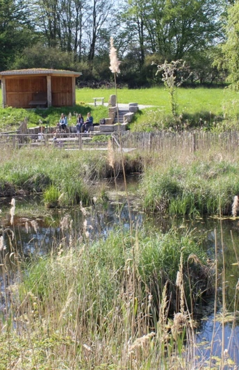
- Moor (moor experience trail)
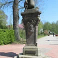
- Count (Count Simon-August zur Lippe monument)
- Stern (Stern health center)
- Kaiser (Kaiser Wilhelm Monument)
- Allee
Bus station
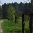
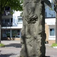
You start at the bus station information pillar. From here, walk along "Marktstasse" to the main road and cross "Hamelner Strasse". You will reach the street "Auf der Heide". Shortly afterwards you will come to a crossroads where you go straight on until you come to a fork in the road. Keep right here and continue along "Auf der Heide". At the next T-junction, turn left (Auf der Heide) and follow this road to the next Moor information pillar.
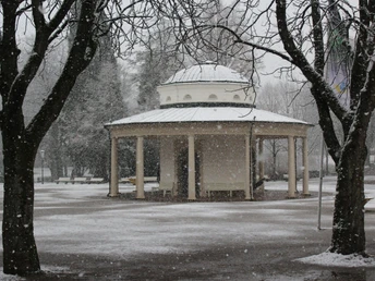
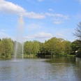
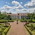
Now turn left into "Blumenkamp" and go straight ahead, which turns into "Vahlhausener Strasse". At the end of the street is a crossroads where you turn left into "Hamelner Strasse". After a few meters turn into the street "Kleppergarten". At the end of the street is the next crossroads, where you go straight ahead into "Parkstrasse ", through the Kurgarten. Here you will find the next Infosäule Graf.
From the "Graf", walk straight ahead, follow the course of the Kurpark hedge and walk uphill in front of the Kurverwaltung until you reach "Brunnenstrasse". Turn left to reach the next information pillar, the star.
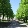
From the "Stern", go straight on to the crossroads and also to the Infosäule Kaiser. At the crossroads, turn left into "Krumme Str.". Follow this road until you reach the next crossroads and the next Allee information pillar.
Cross the avenue. You will reach "Marktstrasse", which you follow to your starting point.
Tour information
Familiy-Friendly
Loop Road
Stop at an Inn
Equipment
The cycle/hike tour is a circular route. You can start and finish at any point along the route.
The tour is also easy to manage with normal shoes.Directions & Parking facilities
A2, exit 35 Bad Eilsen, direction Rinteln, city bypass, then via Barntrup and Blomberg direction Paderborn to Bad Meinberg
With the bus lines 776, 772, 782, 792 to Bad Meinberg bus station.
Additional information
Further information about the Moor Mile can be found at www.hornbadmeinberg.de and at the Horn-Bad Meinberg Tourist Information Office, Parkstraße 10, 32805 Bad Meinberg, 05234-2059710
The free software and further information about the "GPS adventure region in the Teutoburg Forest/Eggegebierge Nature Park" can be found online at www.interaktive-erlebnispfade.de
License (master data)
GesUndTourismus Horn-Bad Meinberg GmbH
Author´s Tip / Recommendation of the author
