RW | Rundwanderweg Werther - 3. Etappe (Theenhausen - Innenstadt)


- 2:30 h
- 8.06 km
- 76 m
- 73 m
- 129 m
- 205 m
- 76 m
- Start: Theenhausener Straße (in the district, near Wiete restaurant) in 33824 Werther (Westf.)
- Destination: Central bus station Werther (mobility station), Alte Bielefelder Straße 28, 33824 Werther (Westf.)
The Werther circular route covers the entire city area and connects the city center with the districts over a total distance of 31 km. The start is at the ZOB. Divided into three stages, the hiker experiences wonderful nature. The trail is fully marked along the entire route. The trail's marker shines brightly in the city colors "red" and "yellow" with the letters RW for Rundwanderweg Werther in der Natur.
In addition to flat and hilly sections, Werther shows its varied side here. Hikers on the Werther Egge in the direction of Theenhausen are treated to beautiful sweeping views of the surrounding countryside. Not forgetting the natural surroundings of Häger with its fish ponds and striking Siektälern valleys, the Ravensberg light landscapes and - to the south-west of Werther - the Arminius spring.
There is something for everyone here.


Waypoints
Good to know
Pavements
Best to visit
Directions
The entire route of the circular hiking trail is well marked. The 3rd stage of the circular hiking trail starts in the district of Theenhausen on the street of the same name. From there, hikers head back towards the town center. The Werther Egge offers hikers beautiful views of the surrounding area (such as the Wiehengebirge).
Tour information
Stop at an Inn
Equipment
Sturdy footwear is recommended
.Directions & Parking facilities
Werther (Westf.) is 10 km away from Bielefeld.
Connection to federal highways:
A 30 / E 8 (Bad Oeynhausen - Osnabrück with continuation in the direction of Münster - Bremen) 18 km to Melle
A 2 / E 73 (Ruhr area - Hanover) 17 km to Bielefeld - Hillegossen or 30 km to Rheda-Wiedenbrück
A 33 (Paderborn - Halle (Westf. )
Always know what's running: The smart number for buses and trains in NRW: 01806 504030 (20 cents/connection from landlines and a maximum of 60 cents from mobile networks.
For more information, please visit www.owlverkehr.de
Additional information
Rest stops along the way:
- Gasthaus Wiete, Theenhausener Straße 25, 33824 Werther (Westf.), Tel. 05203 884386, www.wieteswirtshaus.de
- "Outside" Cafe-Bar-Restaurant, Borgholzhausener Straße 98, 33824 Werther (Westf.), Tel. 05203 9240510, www.outside-werther.de
Hof Meyer zu Theenhausen, Theenhausener Straße 3, 33824 Werther (Westf.), Tel. 05203 5094, hofladen@meyerzutheenhausen.de
Experience the history of our city by booking a guided themed city tour with one of our trained city guides.
For more information, visit www.stadt-werther.de , www.erfolgskreis-gt.de or www.teutoburgerwald.de
License (master data)
Sandra Wursthorn

Author´s Tip / Recommendation of the author
Visit the Peter August Böckstiegel Museum at Schloßstraße 111 and take a look at the works of the expressionist painter and sculptor.
Safety guidelines
Not barrier-free
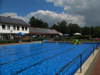
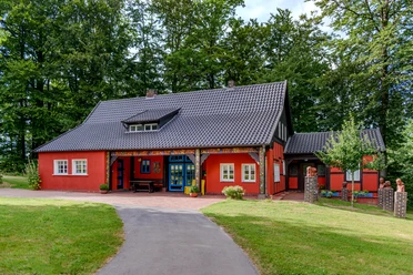
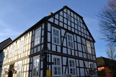
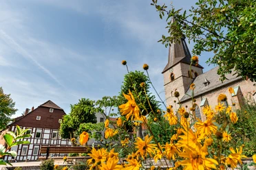
Photo Gallery


