Drenke


While the inhabitants used to mainly farm, most of them now earn their living in the surrounding villages.
Some timbered houses from the 19th century are worth seeing, situated high above the pond in the village center, with a Deelen entrance at the back of the buildings - relatively rare in Westphalia.
A visit to the small, lovingly furnished village church of St. Mary Magdalene from 1859 is a must. Maria Magdalena from 1859 is worth a visit if only for its magnificent stained-glass windows with their artistic paintings.
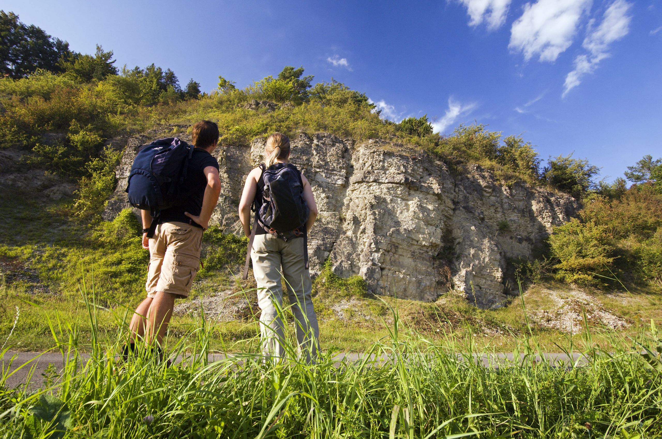
A popular viewpoint can be found on the almost 290-metre-high Eggeberg at the foot of the Drenker memorial, around one kilometer northwest of the village.
Drenke is also known for the Beverungen Training Center of IG Metall on the Elisenhöhe and the nearby Beverungen-Drenke weather station, which was inaugurated by Jörg Kachelmann in 1999.

Good to know
General information
Bus stop available
Eligibility
Suitable for any weather
for Groups
for Class
for families
for individual guests
Pet allowed
for Children of all Ages
Suitable for Pushchair
Payment methods
Directions & Parking facilities
Nearby
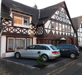


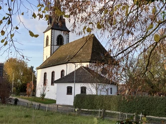


Photo Gallery