Istruper Geschichten


- 1:45 h
- 4.80 km
- 102 m
- 102 m
- 156 m
- 258 m
- 102 m
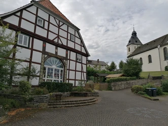
- Start: Village square on Istruper Straße by the parish hall
- Destination: Village square on Istruper Straße by the parish hall
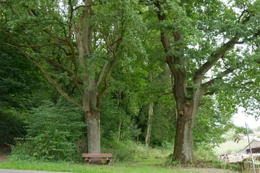
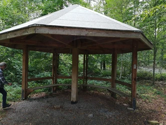
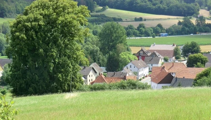
The short circular trail in the south-east of Istrup leads over the Löwenberg and through the Totengrund and Bornegrund. The trail invites you to pause at several stations, learn about the historical content and enjoy the beautiful panoramic views.
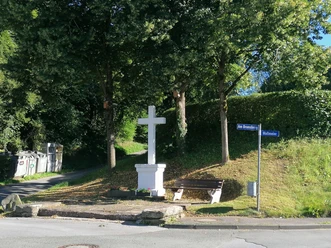
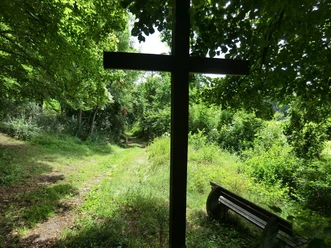
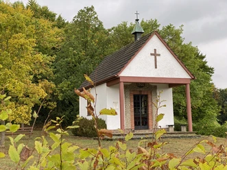
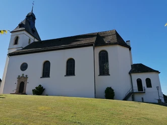
Multiple wayside crosses and church buildings add to the pilgrimage spirit of the trail.


Jestrup, Niedersachsen: Wappen in leuchtendem Gelb mit drei roten Blumen symbolisiert lokalen Stolz.
Waypoints
Start
Good to know
Pavements
Asphalt (17%)
Gravel (53%)
Trail (21%)
Path (9%)
Best to visit
suitable
Depends on weather
Directions
The signpost will be the coat of arms of the village of Istrup.
Tour information
Familiy-Friendly
Loop Road
Mainly Shady
Tour with Dog
Directions & Parking facilities
Getting there
Coming from Höxter or Bad Driburg on the B64, you can reach Istrup via two exits onto Brakeler Straße.
Parking
You can park free of charge on Istruper Straße or at the parish hall.
Contact person
Mr. Helmut Don
Ziegenberg 1
33034 Brakel
License (master data)
Helmut Don

Author´s Tip / Recommendation of the author
Get a deeper insight into the history of Istrup on a guided walk.
Download GPX file
Photo Gallery


