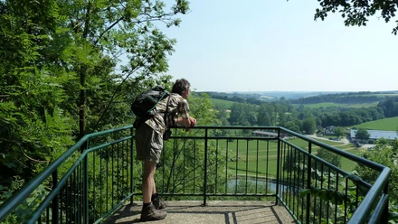
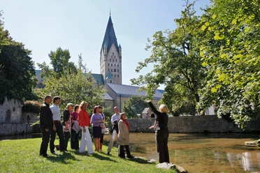
Waldlehrpfad Niederntudorf


The circular walk leads through a beautiful wooded area in the south-eastern district of Niederntudorf in the town of Salzkotten. There are numerous natural sights to marvel at along the way, which are described on the many information boards on the forest nature trail.
A detailed route description of the forest nature trail including a map can be found below under "related tours".
A detailed route description of the forest nature trail including a map can be found below under "related tours".
Good to know
General information
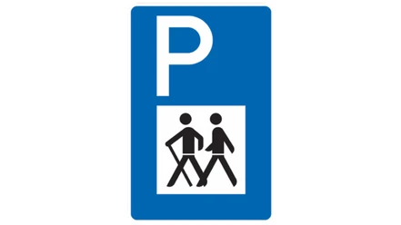
Parking Available
Directions & Parking facilities
From the highway 33 (exit 29) at Borchen, follow the road "Judenweg" in a westerly direction, which becomes "Rissenweg" as it continues. Follow the road into the village. In the center of the village (Thing), keep left and turn into Matthäus-Ring. After a few meters you will reach St. Matthew's Church, which is the starting point for the hike on the forest nature trail.
License (master data)
lokaler Redakteur

Our recommendations

Nearby


Photo Gallery