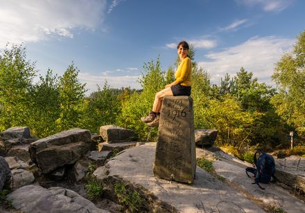
Around 1000 years ago, the so-called "Schildburg" was built not far from the refuge on the Schildberg. The exact date of origin of this small ring fortress has not been established as no written sources are known. However, comparisons with similar finds indicate that the construction of the complex dates back to the 10th - 11th century, i.e. before the high medieval fortification techniques with mortar masonry were used.
This site has received little attention in local history research to date and has long been erroneously interpreted as a megalithic burial site. However, it is actually a dynastic castle, i.e. an administrative seat with fortifications.
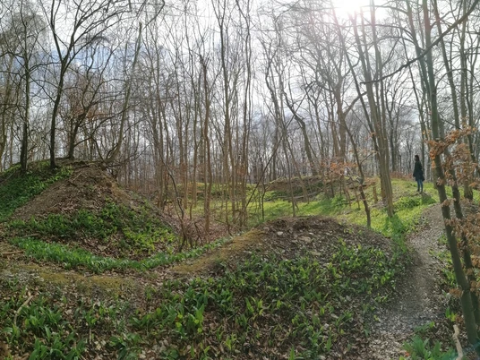
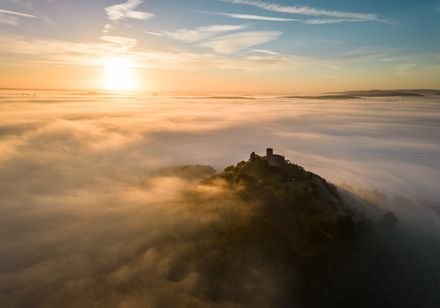
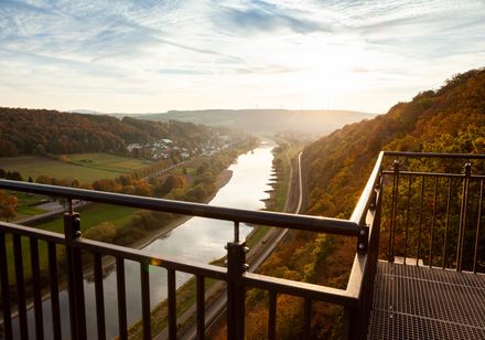
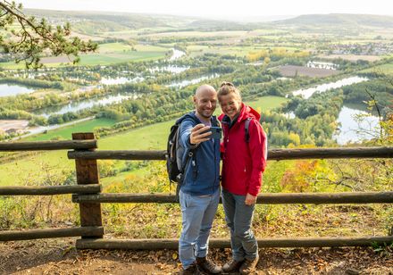
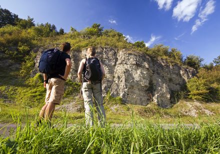
The castle is located on the Schildberg at an altitude of around 240 m above sea level. If you ignore today's beech forest, you have an impressive panoramic view of the entire Lügder-Pyrmont basin. As with similar prehistoric hill forts (e.g. the Herlingsburg or Bomhof), the Schildburg was located at a junction of important connecting and long-distance routes. As a rule, these were mountain paths that ran along the ridges and offered a good view of the valley.There are still several cairn graves of various sizes on the ridge and also near the "castle", which bear witness to the lively activity on this prehistoric ridgeway. The good view into the valley and the location at a junction of old mountain paths suggest that a noble lord wanted to secure his local domain with this complex. As the Schildberg was in the domain of the Schwalenberg counts at this time, it could possibly have been a Schwalenberg outpost. This complex must therefore be seen as early evidence of the emergence of territorial rule, which was designed to administer and secure an area.The remaining ditches and embankments, as well as findings from comparable fortifications, give an idea of what the castle might have looked like. The inner castle area measured approx. 45 m x 35 m and was surrounded by ditches 4 m to 6 m deep and approx. 6 m to 10 m wide. The excavated material was stored in piles of rubble downhill. Access was probably via a wooden bridge built a little later and was secured by a rectangular gatehouse outside the trench. Unfortunately, a good half of the site has been destroyed by quarrying for the forest road extension.
Good to know
Openings
Price info
Guided tours can be booked for a small surcharge via the Lügde Tourist Information Office.
General information
Parking Available
Eligibility
for Groups
for Class
for families
for individual guests
Pet allowed
Suitable for the Elderly
for Children of all Ages
Directions & Parking facilities
License (master data)
Nearby
