- 1:40 h
- 4.78 km
- 53 m
- 53 m
- 181 m
- 219 m
- 38 m
- Start: Bog stitch
- Destination: Peat pipeline
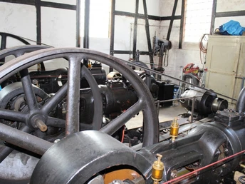
As the name suggests, the Moor Experience Trail is dedicated in particular to the topic of moorland. In addition to interesting background information, the history of moorland mining, its extensive use in the healing sector and the sustainable reconstruction of moorland habitats worthy of protection are also presented.
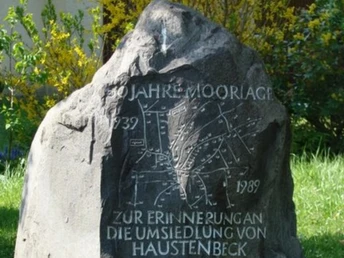
The adventure trail provides information about one or two special features along the way, such as nature reserves and watercourses, Scottish cattle in the Teutoburg Forest, as well as the creation of a new home for forced resettlers in the "Moorlage".
Discover the exciting topic of "moorland" interactively and in a sustainable way.
With the help of GPS and a pocket computer, you will be guided along the Moor Experience Trail and the Moor Mile.
Learn more about moorland extraction, its use in healing and the sustainable reconstruction of moorland areas worthy of protection.
Waypoints
Good to know
Best to visit
Directions
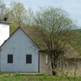
You start at Moorstich, Auf der Heide, and follow the narrow path slightly to the right, along the fence. You will pass the pump house and shortly afterwards you will reach the mining basin.
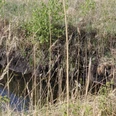
Cross a stream and turn left to reach the Galloway meadow. If you continue straight ahead, you will reach the watercourse.Here you cross the bridge on your left and continue along the forest path. After approx. 150 m, turn right. Walk approx. 100 m and turn left, where you will come to a narrow path again.
Follow this path until you reach a fork in the road. Turn right here. At the end of the path, keep left and then immediately right and follow the path.
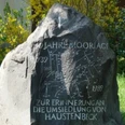
Just before you reach Haustenbecker Strasse is the boundary stone.
Hustenbecker Strasse is already part of the Moorlage settlement. Walk along it to the crossroads and turn right into Indusriestrasse.
At the end of the road is the next junction, where you turn right again into Bahnhofstrasse.
Cross the road. After about 1.2 km, change sides again and take Im Rehwinkel until you reach the T-junction; keep left here and follow the road.
At the end of the road, you will come to a forest path in the beech forest, where the stream valley is also to your right and somewhat hidden. Walk along the path until you reach the Stilles Tal road. Keep left and at the T-junction turn right into the road Auf der Heide.
Walk straight ahead until you reach your last point on the moor pipeline. The adventure trail ends here.
Tour information
Familiy-Friendly
Loop Road
Equipment
We recommend good hiking boots and a camera for this tour.
Directions & Parking facilities
From the direction of Hanover/ Bremen/ Berlin/ Hamburg: A2, exit 35 Bad Eilsen, direction Rinteln, bypass, then via Barntrup and Blomberg towards Paderborn to Bad Meinberg.
With the bus lines 776, 772, 782, 792 to Bad Meinberg bus station.
Additional information
www.hornbadmeinberg.de
www.naturpark-teutoburgerwald.de
License (master data)
