Der Jesuitenpfad - Wanderung durch das Bürener Land


- 8:00 h
- 27.78 km
- 299 m
- 300 m
- 169 m
- 351 m
- 182 m
- Start: Büren, Café Goeken on the market square
- Destination: Büren, Café Goeken on the market square

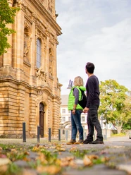
Besucher erleben auf dem Jesuiten Pfad in Büren historische Architektur und reizvolle Landschaften.
Waypoints
Start
Good to know
Pavements
- Unknown (3%)Street (18%)Asphalt (8%)Gravel (55%)Trail (12%)Path (4%)
Best to visit
- suitableDepends on weather
Route markings
- The path is marked throughout ("Jesuitenpfad", white lettering on a red background)
Tour information
Loop Road
Multiday Tour
Stop at an Inn
Equipment
- Weather-dependent clothing, sturdy shoes
Directions & Parking facilities
- Getting thereA44/ A33 take the Büren exit, then follow the signs to Büren. The market square is located on Königstraße in Büren.ParkingThere are parking spaces on Lindenstraße and at the Haus des Handwerks, Spielenweg. There is also an underground parking garage in Burgstraße.Public transportationStop: Markt, Büren.
Nahverkehrsverbund Paderborn/Höxter
Always know what's running: The smart number for buses and trains in NRW 01803 504030 (timetable information for €0.09/min from a German landline, mobile max. €0.42/min) Additional information
Documents
License (master data)
Kerstin Salerno

Author´s Tip / Recommendation of the author
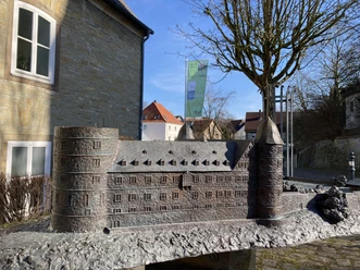
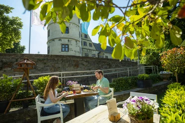
- A particular highlight is the Jesuit church in Büren, which is one of the most magnificent baroque monuments in Westphalia, and the Wewelsburg, Germany's only triangular castle, which the circular trail passes.
Safety guidelines
- The circular hiking trail is not suitable for baby carriages and wheelchair users due to the nature of the trail.
Map
Hiking map "Paderborner Land (southern part)" no. 62
Price: 6,95 €
Scale: 1:25000
Publisher: Eggegebirgsverein e. V.
ISBN: 978-3936184-77-8Social Media
Our recommendations


Download GPX file
Photo Gallery


