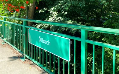
Ölbach in Stukenbrock - Sennebäche in Schloß Holte-Stukenbrock


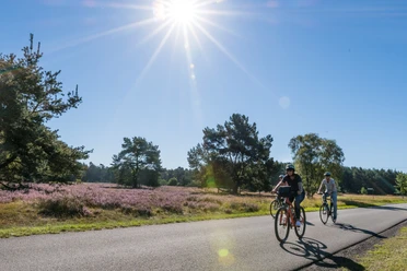
The Ölbach, or Oelbach in the old spelling, rises from three springs near Augustdorf in the Senne in the Ölbachtal nature reserve and then flows through the town of Schloß Holte-Stukenbrock. In Stukenbrock, the stream is dammed for the first time to feed ponds and tributaries for fish farming, some of which are now protected. To the west of Schloß Holte there are further standing waters within the Holter Forest, which are fed by the Ölbach. In 1843, the industrialist Friedrich Ludwig Tenge created these ponds as collecting basins for smelting the turf iron ore from the Holter smelter. Today they are wetland biotopes and can be explored on a nature trail. At Holter Schloss, the town's namesake hunting lodge, the Ölbach is dammed again to form the Schlossgräfte. On its way through the Holter forest, it then passes the 1000-year-old oak tree, an impressive natural monument. Heading towards Verl, the Ölbach picks up the Landerbach. It finally flows into the Wapel in Rhedaer Forst, a wooded area between the towns of Gütersloh and Rheda-Wiedenbrück, which in turn flows into the Dalke.
Good to know
General information
Bus stop available
Directions & Parking facilities
The Bielefeld - Paderborn train line takes you directly to Schloß Holte-Stukenbrock.
You can find your travel options by public transport via OWL-Verkehr https://teutoowl.de/owlv/.
Schloß Holte-Stukenbrock is easily accessible by car via the A33 highway with two highway exits (Schloß Holte-Stukenbrock and Stukenbrock-Senne).
https://www.owlmobil.info/app/ App for various mobility offers
License (master data)
Stadtverwaltung Schloß Holte-Stukenbrock

Nearby


.jpg")


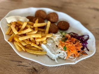
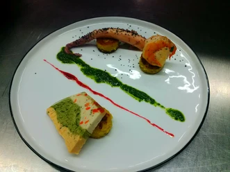
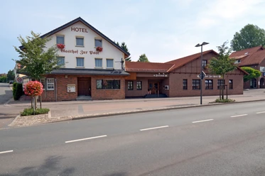
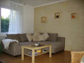
Photo Gallery