Grenzsteine


Experience point on the Lügder Mythenweg
The border in the Herlingsburg area, which can still be traced today using numerous boundary stones, is very old. It was first mentioned in 1668, when the village of Lügde was separated from the county of Pyrmont, which had existed since 1184. In the course of the Abschnadungs-Rezess (border treaty), 75 boundary stones were erected around Lügde. These formed the border between Lügde and Pyrmont. When the border was formed, the so-called "Pyrmonter Hals", a strip of land only 50 to 300 meters wide, was created from here down to the Kixmühle mill.
When Lügde fell to the Kingdom of Prussia, the border was remeasured. 303 boundary stones were set in 1844 in place of the old 75 stones. On the side facing Lügde, the abbreviation "KP" (Kingdom of Prussia) and the year 1844 were stamped into the boundary stones. On the Pyrmont side was the abbreviation "FWP" (Principality of Waldeck-Pyrmont) and the number of the stone. The boundary stones were set up so that the orientation of the side face points to the location of the next boundary stone. This makes it easy to follow the course of the border.In 1923, the boundary in the Herlingsburg area was changed for the last time. The "Pyrmonter Hals" came into Lügder possession in exchange for areas of the Pyrmont railroad station, which had stood on Lügder territory since its construction. The total length of the Lügder-Bad Pyrmont border today is approx. 21,900 meters.Good to know
Openings
Nearby
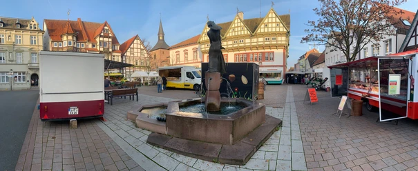
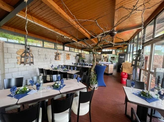
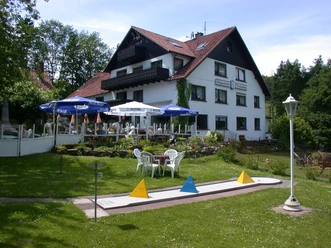
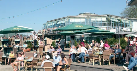
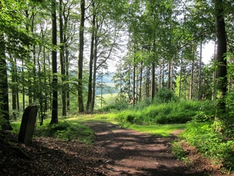


Photo Gallery