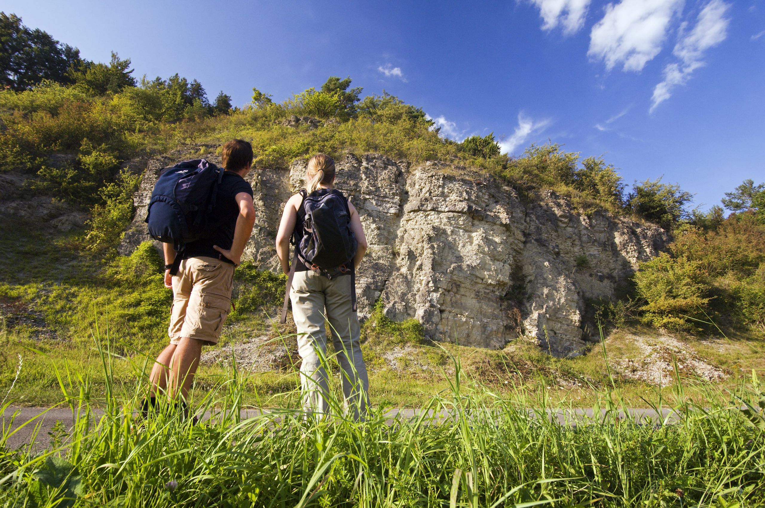
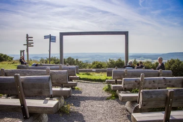
Panoramic view Köterberg


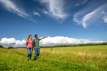
The Köterberg can be wonderfully hiked up or around. More information here: View-rich tours around the highest mountain in Lippe
Did you know...?
...that the Köterberg is also called "Monte Wau Wau"? But the name actually has nothing to do with dogs. Köterberg is derived from the word "Kötterberg", which means border mountain.
Top tip: In winter, the Köterberg is also ideal for tobogganing and skiing, attracting and delighting visitors of all ages every year.
Good to know
Openings
Price info
General information
Parking Available
Eligibility
Suitable for any weather
for Groups
for Class
for families
for individual guests
Pet allowed
Suitable for the Elderly
for Children of all Ages
Other Furnishing/Equipment
Toilet
Directions & Parking facilities
Contact person
License (master data)

Nearby

")

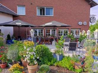
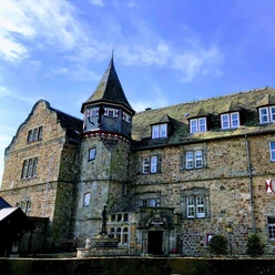
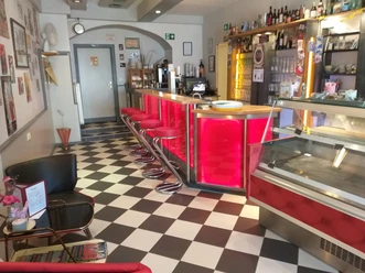
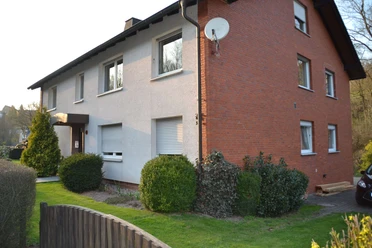
Photo Gallery