Steinbekeweg Bad Lippspringe

 Lippspringer Wald")

- 3:22 h
- 9.52 km
- 221 m
- 221 m
- 192 m
- 376 m
- 184 m
- Start: Am Forsthaus "Bad Lippspringer Wald".
- Destination: Am Forsthaus "Bad Lippspringer Wald".
The hunting lodge on the Dumberg with its beautiful thatched roof belongs to the Duke of Schleswig-Holstein-Sonderburg-Glücksburg. The Dumberg forest area was formerly owned by Lippspring. It was sold in 1934. The largest of all native raptors, the red kite, has its breeding grounds in the large woodlands.
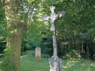
In the vicinity of the Steinbeke state forester's lodge, we are delighted every year in March by the large numbers of spring snowflakes. The fact that some river courses disappear in the foothills of the Eggegebirge - on the Paderborn plateau - and reappear elsewhere is due to the karstification of the limestone. So-called swallow holes form in this fissured rock, in which the water seeps away and can continue to flow underground. This can be observed, for example, in the Steinbeke and also in the Beke, which flows between Altenbeken and Neuenbeken.
The Steinbeke has its source in the Bielsteinhöhle nature reserve and flows into the Lippe south of Lippspringe.


Waypoints
Good to know
Pavements
Best to visit
Directions
Ab dem Forsthaus-Lippspringer Wald der Ausschilderung A1 folgen bis Sie wieder zum Ausgangspunkt am Forsthaus angekommen sind.
Wir weisen darauf hin, dass Sie im Wald mit waldtypischen Gefahren rechnen müssen, wie z.B. herabfallende Äste oder unwegsames Gelände.
Das Betreten des Waldes und die Nutzung der Installationen erfolgt auf eigene Gefahr.
Tour information
Familiy-Friendly
Loop Road
Equipment
Directions & Parking facilities
Tel. +49 5251 123366 | www.hochstiftbewegt.de
License (master data)
Thomas Fischer

Author´s Tip / Recommendation of the author
Social Media
Download GPX file
Photo Gallery


