- 8:12 h
- 29.89 km
- 474 m
- 474 m
- 51 m
- 265 m
- 214 m
- Start: Gehlenbeck 52.309197 8.648529 / Bergkirchen 52.268148 8.774047
- Destination: Gehlenbeck 52.309197 8.648529 / Bergkirchen 52.268148 8.774047
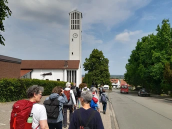
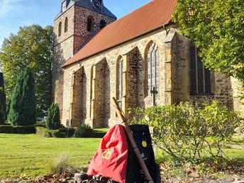
The so-called southern route takes pilgrims from the hilltop in Bergkirchen through the Wiehengebirge mountains to Schnathorst. From here, you cross the ridge path to the north side of the Wiehen and reach Gehlenbeck. Wide views to the south into the Ravensberg hills and to the north into the North German Plain reward the pilgrim on his ascents and descents in the Wiehengebirge.
The so-called northern route leads through flat landscapes characterized by small villages, meadows and fields on mostly asphalted side paths. From here, the alternative route through the Great Peat Bog is signposted.
Good to know
Best to visit
suitable
Depends on weather
Tour information
Labelling
Multiday Tour
Stop at an Inn
More information
An accompanying booklet for the pilgrimage route provides detailed information about the route, the pilgrim stations and offers space, like in a pilgrim's passport, for stamping at the individual pilgrim stations.
Pilgrim's booklets can be ordered here
info@nikolausweg.de
Pilgrim's booklets can be ordered here
info@nikolausweg.de
Contact person
License (master data)
Tourismusverband Sieben e. V.
Our recommendations


