- 0:52 h
- 3.43 km
- 98 m
- 98 m
- 146 m
- 243 m
- 97 m
- Start: Hikers' parking lot Währentrup Am Iberg
- Destination: Circular hiking trail - starting point = destination
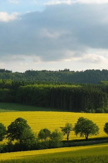
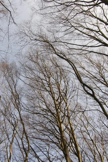
The hike along the local circular hiking trail A2 begins in the idyllic Oerlinghausen district of Währentrup. It is characterized by its varied landscape. The steep ascent leads to the top of the Iberg. The beech forest is the typical vegetation for the shell limestone chain of the Teutoburg Forest. In spring, early bloomers can be found here and in autumn, the reddish-brown foliage is enticing. To the right of the ridge path are a number of burial mounds. A fertile longitudinal valley between Iberg and Münterburg is used for agriculture. Horses from the riding stables in Währentrup graze in the pastures. The Haferbach stream, which we cross, has its source on the northern slope of the Tönsberg and flows towards the Weser.
Good to know
Best to visit
Directions
From the parking lot, follow the A1/A2 signs to the right onto the Iberg. Cross the road "Am Walde" and follow a footpath. At a crossroads, path A2 leads downhill to the left. After approx. 200 m there is a refuge. At the district road, turn left and return to the "Währentrup" hiking parking lot.
Tour information
Familiy-Friendly
Loop Road
Stop at an Inn
Equipment
Directions & Parking facilities
Additional information
www.oerlinghausen.de
Author´s Tip / Recommendation of the author
Gastronomy at the start/finish point with a beautiful panoramic terrace! See gastronomy tips from the town of Oerlinghausen
.- Playground directly at the hiking parking lot .
- Barbecue area (information/booking via Iberg-Club E. Grams Tel. 05202 44 42)
Safety guidelines
Map


