- 02:00 h
- 210 m
- 192 m
- 162 m
- 310 m
- 148 m
- 9.23 km
- Start: Oerlinghausen - Hikers' parking lot Währentrup Am Iberg
- Destination: Circular hiking trail - starting point = destination
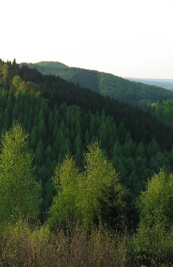
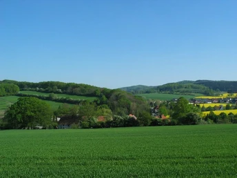
The A1 circular hiking trail in Oerlinghausen is located in the idyllic district of Währentrup. It leads from the parking lot around the Hunekenkammer to the Stapelager Schlucht gorge past the Wistinghausen estate, a farm complex from the Middle Ages (not accessible). The trail leads through a transverse valley, the Wistinghauser Schlucht. This is followed by a section of the legendary Hermannsweg trail. Here you are in a longitudinal valley between the Hunekenkammer and the Mämerisch (307 m). The shady longitudinal valley separates the southern limestone chain from the central sandstone chain of the Teutoburg Forest. At a historic path spider, you continue along the Marienfelder Weg, a historic path of the monks of the Marienfeld monastery. The way back leads over the beech-covered ridge of the Iberg, which offers a beautiful view of the Teutoburg Forest.
Good to know
Best to visit
Directions
From the parking lot, walk past the playground in the direction of the water park. The Währentrup "water park" is now on your right. (Attention! Please note the opening hours of the Währentrup water park. The water park is closed at weekends - FR from 17:00 to MO 8:00 - and on public holidays. Use the A1 route at the Währentrup hiking parking lot () Walk around the pond and cross the bridge. Walk through an avenue in a southerly direction onto the road "Im Graskamp". Keep to the right until a small path branches off to the left, between the bushes, parallel to a small stream. At the end of the path, cross under the K11 district road through a tunnel. The A1 markings now follow the asphalt road "Hambusch", keeping to the right and crossing the Wistinghauser Schlucht gorge. At the fork in the road, you will come to the Hermannsweg (marked with a white H on a black background). Now head east (left) through a longitudinal valley between Hunekenkammer and Mämerisch (307 m). After approx. 1 km, pass the crossroads straight ahead and continue to follow the H, A 1 markings downhill through the Stapelager Schlucht gorge. After approx. 100 m you will find a refuge. After approx. 500 m, leave the Hermannsweg trail to the left at the spider post and follow the A 1/ A 4. After approx. 1 km, cross the K11 district road and climb up the A 1 through a beech forest. Continue uphill along the edge of the forest to the Iberg (236 m). Shortly before turning left into the forest, you have a beautiful view. After approx. 50 m, you will come to the A 2, which runs parallel to the A 1 back to Währentrup.
After leaving the forest, take a small paved footpath onto the road "Am Walde". From here you return to the starting point at the "Währentrup" hiking parking lot.
Tour information
Familiy-Friendly
Loop Road
Stop at an Inn
Equipment
Directions & Parking facilities
Additional information
Author´s Tip / Recommendation of the author
Gastronomy at the start/finish point with a beautiful panoramic terrace! The beautiful sun terrace invites you to stop off at the end of the hike in summer and a fireplace room in winter.
- See gastronomy tips from the town of Oerlinghausen
- Playground directly at the hiking car park
- Barbecue area (info/booking via Iberg-Club E. Grams tel. 05202 44 42)
Safety guidelines
Map
Hiking map NRW 1: 25 000 No. 39 ( Hermannsland with Eggeweg and Hermannsweg) ISBN 3-89439-679-2