- 8:00 h
- 41.87 km
- 608 m
- 609 m
- 124 m
- 420 m
- 296 m
- Start: Circular route, various parking spaces on Nelkenweg
- Destination: Circular route, various parking spaces on Nelkenweg
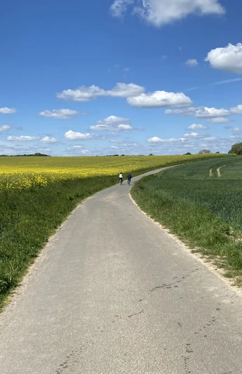
Six varied access routes lead in different directions to the Nelkenweg and offer the opportunity to combine sections of the Nelkenweg into circular hiking tours of varying lengths (12 km -16 km).
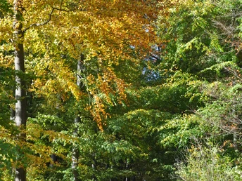
The Nelkenweg crosses the extensive forests of the Hurn near Istrup in the north of Blomberg and the Blomberg town forest in the east with elevations such as the 429 m high Winterberg. The magnificent old beech and oak forests offer hikers coolness and relaxation on hot summer days.
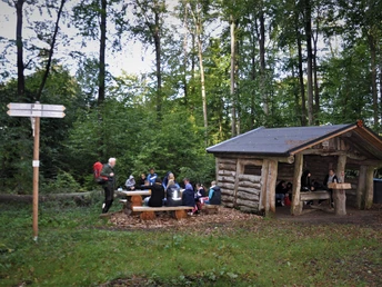
Benches along all hiking routes invite you to rest and hikers' huts provide shelter in the event of a rain shower.
Good to know
Best to visit
Directions
Along some of the paths, old churches and magnificent farmsteads bear witness to the prosperity of the inhabitants of the Blomberg basin. The Romanesque village church in Reelkirchen with its 1000-year-old lime tree in the churchyard or the moated castle in Herrentrup are particularly worth a detour.
The numerous hiking parking lots or the parking lots near the old town are available as starting points for the various tours.
On a visit to the old town of Blomberg, founded around 1250, you can discover not only many pretty half-timbered houses on the historic town tour, but also the old castle with the town wall and the last medieval town gate in Lippe.
Blomberg, the town of carnations, is the town of flowers and was once known for its carnation cultivation; today the carnation trail is a reminder of this glorious past.
Tour information
Labelling
Loop Road
Multiday Tour
Stop at an Inn
Equipment
Directions & Parking facilities
A44, Kassel-Dortmund: Warburg exit (65) and via the B 252 federal road (Ostwestfalenstraße)
A33, Paderborn exit (26) via the B1 federal road to Blomberg
Informatie nummer voor busen en treinen in NRW 01803504030 (tijdschema's voor € 0,09 / min van een Duitse vaste lijn, mobiele max € 0,42 / min ...)
Additional information
Neue Torstraße 9
32825 Blomberg
Tel.: 05235 5028342
info@blomberg-marketing.de
www.blomberg-urlaub.de
Literature
Contact person
License (master data)
Blomberg Marketing e. V.
Author´s Tip / Recommendation of the author
Safety guidelines
Map


