- 1:30 h
- 12.63 km
- 244 m
- 244 m
- 191 m
- 286 m
- 95 m
- Start: Kurpark side entrance left
- Destination: Kurpark side entrance left
You exercise a variety of muscles, gently train your heart and circulation, strengthen your immune system and experience the changing seasons up close.
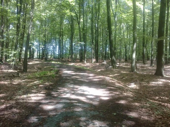
This certified Nordic walking route is around 13 km long, well signposted and runs mainly through the Leistrup forest.
Waypoints
Start
Good to know
Best to visit
suitable
Depends on weather
Directions
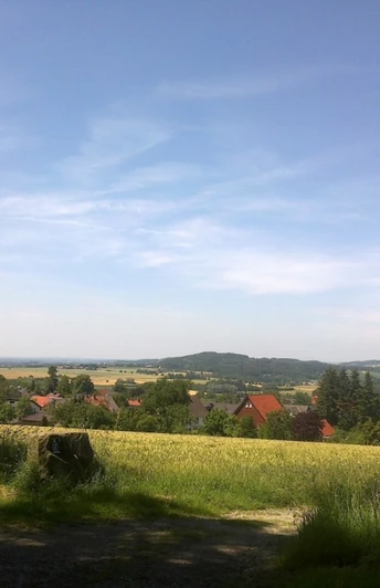
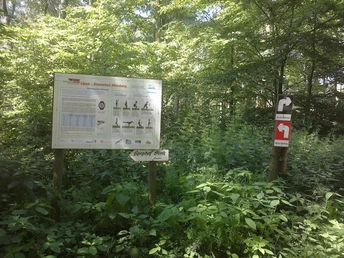
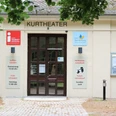
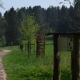
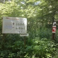
You start at the side entrance to the historic spa gardens of Bad Meinberg. The spa administration is on your left. Walk along the hedge and take the first left towards Brunnenstrasse. Cross Brunnenstrasse and walk up the Schanzenberg. Here you will find a route sign (white arrow on red sign). At the end of the road is a T-junction. The Kurhaus Schanzenberg is on your left. The next road sign is at the entrance to the forest. From here, continue straight ahead on a forest path. After about 150 m, you will come to a forest crossroads where you turn left. Go straight on at the next crossroads. Approx. 65 m further on, you will come to a T-junction where you will find another signpost and turn right at this point. After about 250 m you will come to a crossroads where there is another route sign. Turn left here in the direction of Opfersteine. A few meters further on is a housing estate and shortly afterwards there are fields to the right and left, followed by a bend to the right. You will come to a fork in the road after about 100 meters. At this point there is another route sign and you keep left here in the direction of Schönemark. Follow the route. At the next forest crossing, walk straight ahead. Shortly afterwards there is a T-junction where you keep left. Approx. 100 m further on there is another fork in the path. Here you walk straight ahead on a stone path. After about 200 m you will reach a T-junction, as well as the heart rate monitoring station, where there is another route sign and you turn right. Follow the path for approx. 800 m. You will then come to another fork in the path, where you turn left around the bend. There is also a wooden hut and another route sign on your left. Just a few meters further on, turn right. At the next crossroads, also turn right. Shortly afterwards, you will come to another fork in the road, where you keep left. At the next fork in the path, keep right and continue along the route until you reach a crossroads where you walk straight ahead. Then continue straight ahead at the next fork in the path. When you reach the road, cross it and take the narrow path. The Waldcafé is on your left. At the next signpost, follow the route to the T-junction where you turn left. Immediately after this is a fork in the road, where you keep right and then left at the next fork. Follow the route for about 550 m. At the crossroads, continue straight ahead. When you reach the T-junction, turn left. You will then come to a fork in the path. Keep left here and continue straight ahead to the heart rate monitoring station. A fork in the road and a route sign follow after about 100 meters. At this point, walk straight ahead along Leistruper-Wald-Straße to the next fork in the road. Keep left here and follow the road. Around 200 m further on there is another fork in the road where you also keep left, walk to the crossroads and turn left again. At the next fork in the road, turn right. A few meters further on you will come to a fork in the road, where you will also find a signpost. Keep left here and follow the path. Shortly afterwards you will come to another fork in the road. At this point, continue walking straight ahead. There are fields to your right and left. After about 120 m, the path climbs slightly and bends to the left. After the bend, you will come to a crossroads and see a route sign. Take the first right, where you will also find a bench. Approx. 300 m further on, you come to another fork in the path, where you keep left and walk to the next crossroads. Cross this and turn right at the next junction in the direction of Kurhaus Schanzenberg. After about 200 m you leave the forest, pass the road and follow the road for about 280 m until you reach Brunnenstraße. Once you reach Brunnenstraße, cross the junction again and walk straight ahead. The historic spa gardens are in front of you. Now turn right along the hedge. After a few meters you will reach your starting point.
Tour information
Loop Road
Stop at an Inn
Equipment
Nordic walking poles and sturdy shoes.
Directions & Parking facilities
From the Ruhr area and Kassel: A33, exit no. 26 Paderborn-Elsen, then B1 towards Hameln, exit Bad Meinberg.
From the direction of Hanover/ Bremen/ Berlin/ Hamburg: A2, exit 35 Bad Eilsen, direction Rinteln, bypass, then via Barntrup and Blomberg towards Paderborn to Bad Meinberg.
Free public parking at the bus station, Marktstraße junction, Hamelnerstraße and Heinrich-Drake-Platz in the avenue.
Train stations in Horn-Bad Meinberg and Leopoldstal. With direct connections from Bielefeld, Herford, Lage, Detmold and Paderborn.
With the bus lines 776, 772, 782, 792 to Bad Meinberg bus station.
License (master data)
Safety guidelines
In the winter months when the ground is icy, Spieker shoes or Spieker pull-on soles are recommended.
