- 4:30 h
- 58.16 km
- 820 m
- 820 m
- 135 m
- 424 m
- 289 m
- Start: ADFC Bike & Info Station Bad Meinberg - Brunnenstraße 67 - 32805 Horn - Bad Meinberg
- Destination: Round trip - end at the starting point
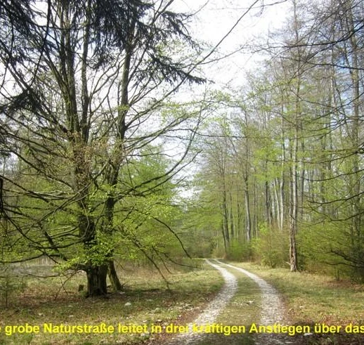
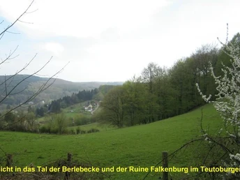
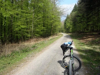
We take you from the starting point at the ADFC station in Bad Meinberg along natural sections and agricultural paths to the Silberbachtal valley. From there on forest paths up to the ridge (watershed Weser / Rhine) of the Teutoburg Forest / Eggegebirge and on a medieval Hellweg route towards Neuenbeken on the western edge of the mountains. You cycle down to Bad Lippspringe to the source of the River Lippe and the beautiful parks. Follow our route on hidden paths through the flat cultural landscape of the Senne to Fürstenallee with the historic Kreuzkrug inn. From there, you climb the ridge of the Teutoburg Forest for the second time on natural roads and roll steeply down to the Hangstein inn above Berlebeck. From here, a short detour to the Berlebeck Eagle Observatory is worthwhile, after which you cycle back to the starting point on small roads and through the fields.
Good to know
Best to visit
Directions
The following villages are located along the route:
Bad Meinberg - Moorstich - Leopoldstal - Silberbachtal - Schnat - Feldrom - Messerkerl - Hornscher Hellweg - Neuenbeken - Redinger Hof - Bad Lippspringe - Gh. Fischerhütte - Kurwald - Strotheniederung Schlangen - Panzerringstraße - Oesterholz - Fürstenallee - Gh. Kreuzkrug - Alter Detmolder Postweg - Düsterlau - Gh. Hangstein - Adlerwarte - Berlebeck - Fromhausen - Eickernberg - Bad Meinberg.
The route description is provided via GPS track in the download area.
Alternatively, the ADOBE PDF map printout is available for download from this system.
The ADFC recommends the "BVA Radwanderkarte im Kreis Lippe 1:50,000 - ISBN 978-3-87073-628-6" for local orientation.
Tour information
Loop Road
Stop at an Inn
Equipment
A spare inner tube and an air pump should not be missing in the lonely wide forests of the Teuto region.
A full drinks bottle is recommended.
Directions & Parking facilities
The free parking lot is located at the junction of "Brunnenstraße / Hamelner Straße", from there it is approx. 350 m to the starting point in the traffic-calmed center of Bad Meinberg.
From there, continue by bus to the public transport stop: Horn - Bad Meinberg, Bad Meinberg bus station.
From there, the ADFC bike station is signposted with the "Bike-Rent" sign.
Always know what's going: The smart number for buses and trains in NRW 0800 6-50 40 30 (free of charge and available around the clock).
Additional information
Silberbachtal in the Teutoburg Forest Nature Park
Messerkerl on the old trade route over the mountains
Bad Lippspringe lively small town with large parks
Historische Wirtschaft Kreuzkrug on the Fürstenallee
Gasthaus Hangstein for a refreshment stop along the way
Berlebeck Eagle Observatory, the most species-rich bird of prey observatory in Europe
Literature
License (master data)
Author´s Tip / Recommendation of the author
- Schlucht des Silberbaches, explore this on foot from the Hotel Silbermühle .
- Bad Lippspringe, Lippe spring in Arminuspark with Prinzenpalais and planet trail.
- Adlerwarte Berlebeck, experience the free flight of large birds of prey.
Safety guidelines
- The forest trails in the Teutoburg Forest are generally very easy to navigate .
- Damage / obstructions / road closures may occur depending on the season due to weather events or forest maintenance work.
- The Landesforstgesetz NRW must be observed. This has been observed in the route guidance.
- The author accepts no liability for the accuracy of the tourist information / links and the GPX track. The Senne military training area may not be entered or driven on.
- Reception of mobile phone networks is restricted or not possible in parts of the Teutoburg Forest, please note this when using non-outdoor GPS devices.
Map


