- 0:37 h
- 2.00 km
- 108 m
- 83 m
- 191 m
- 108 m
- Start: Lienen town hall
- Destination: Hermannsweg (Malepartus forestry)
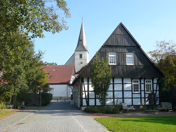
From Lienen town hall, follow the access path steadily uphill to the Hermannsweg on the ridge of the Teutoburg Forest. At the Malepartus forest inn, you will reach the Hermannsweg. From here, you can hike in the direction of Bad Iburg or Lengerich.
Good to know
Best to visit
suitable
Depends on weather
Directions
The access route is marked from Lienen town hall. In the Osnabrücker Land area, additional hiking signposts will help you find your way.
Tour information
Stop at an Inn
Directions & Parking facilities
A1, exit 73 Lengerich, continue in the direction of Lengerich/Lienen.
Navi destination address: Hauptstraße, Lienen
Lienen city center
Lienen town hall bus stop.
Always know what's running: The smart number for buses and trains in NRW 01803 504030 (timetable information for €0.09/min from a German landline, mobile max. €0.42/min)
.Additional information


