- 1:00 h
- 3.01 km
- 28 m
- 28 m
- 227 m
- 251 m
- 24 m
- Start: Hikers' parking lot on the district road 69 in the direction of Blankenrode (right side of the road)
- Destination: Hikers' parking lot on the district road 69 in the direction of Blankenrode (right side of the road)
Interesting information, short quizzes and other activities related to the topic of renaturation await at seven stations.
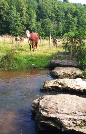
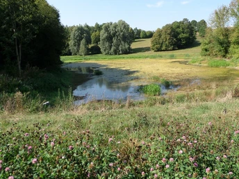
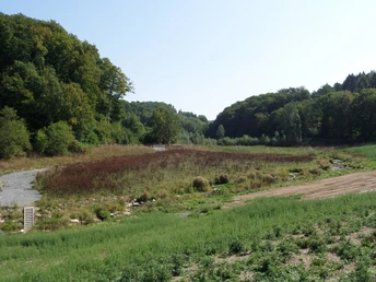
After three years of construction, the Altenau in the Husen-Dalheim area has been flowing as a river should again since 2017: winding and full of life.
The river has had to endure a lot in the past. The reason was the terrible flood in 1965, which burned itself into the memory of the inhabitants of the Paderborn region.
After this, the Altenau was dammed, its banks fortified and straightened. From Husen to its confluence with the Alme, it often resembled a canal rather than a river. The aim of the renaturation is to provide a home for fish and birds again.
Further information can be found at: https://www.naturpark-teutoburgerwald.de/wp-content/uploads/2018/06/GPS-Pfad_Renaturierung_neuer-QR-Code.pdf
Good to know
Pavements
Best to visit
Tour information
Familiy-Friendly
Loop Road
Equipment
Directions & Parking facilities
Hikers' parking lot on the district road 69 in the direction of Blankenrode (right side of the road)
Literature
Flyer from the nature park:
https://www.naturpark-teutoburgerwald.de/wp-content/uploads/2018/06/GPS-Pfad_Renaturierung_neuer-QR-Code.pdf
Download the GPS trail at:
goo.gl/85DxwN
License (master data)


