- 0:40 h
- 1.96 km
- 70 m
- 52 m
- 71 m
- 139 m
- 68 m
- Start: Parking lot "Oldendorfer Schweiz", Bergstraße, 32361 Preußisch Oldendorf
- Destination: Parking lot "Oldendorfer Schweiz", Bergstraße, 32361 Preußisch Oldendorf
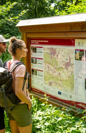
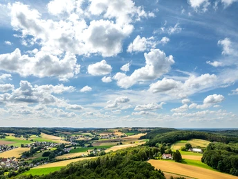
Discover gentle hills and impressive views. The well-signposted routes lead to idyllic places. Whether short walks or extended hikes - the Wiehengebirge offers the right route for every taste.
Good to know
Best to visit
suitable
Depends on weather
Directions
From the parking lot, follow "Bergstraße" downhill and turn right into "Eininghauser Weg". Near the former guest pavilion, turn left up into the street "Am Hang". At the end of the road, turn right onto "Brömmelstraße". At the edge of the forest, turn left onto the forest path which runs close to the edge of the forest - together with paths K1, A2 and the Limberg-Nonnenstein-Weg (white circle). Later, at a signpost, turn right uphill towards the memorial; the other paths continue straight ahead. Before the war memorial, turn right up onto a narrow forest path. Keep left at the top. The path curves back through the forest to "Brömmelstraße", keep right there and return to the parking lot.
Tour information
Loop Road
Equipment
Sturdy shoes are recommended.
Directions & Parking facilities
On the B65 in Preußisch Oldendorf, turn into Rathausstraße, which then becomes Bergstraße.
Hikers' parking lot "Oldendorfer Schweiz", Bergstraße, 32361 Preußisch Oldendorf
Always know what's running when: The "smart number" for buses and trains in NRW: 08006 504030.
The hiking parking lot in Oldendorfer Schweiz is a 15-minute walk from the "Pr. Oldendorf-Stadtzentrum" bus stop.
Additional information
Further information and maps are available from the Tourist Information Office in the Haus des Gastes in Bad Holzhausen, Hudenbeck 2, 32361 Preußisch Oldendorf, Tel.: 05742-9311200. The Tourist Information Office is open Monday to Friday from 9.00-11.30 am and from 2.30 pm to 4.30 pm.30 am and from 2.30 pm to 4.30 pm.
Take a look at our homepage: tourismus.preussischoldendorf.de
License (master data)


