- 1:40 h
- 5.72 km
- 97 m
- 99 m
- 216 m
- 291 m
- 75 m
- Start: Parking lot at Thokenberg - corner of Almenaer Str./Lüdenhauser Str.
- Destination: Parking lot at Thokenberg - corner of Almenaer Str./Lüdenhauser Str.
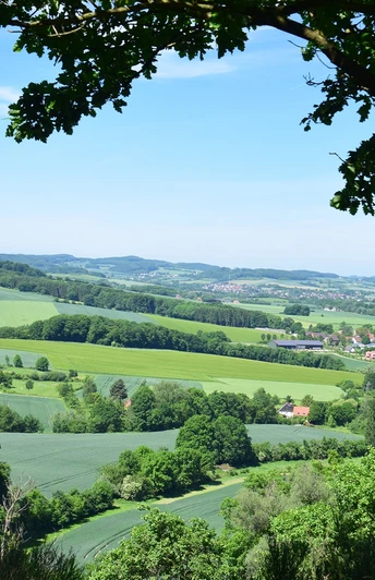
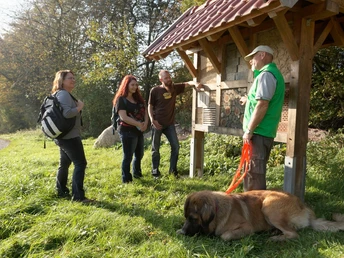
Always following the A1 signpost, the almost 6 km long circular hiking trail from Lüdenhausen leads through varied landscapes of forest and meadows: over the Thokenberg, along the Osterkalle, along field paths and up to the Hexenberg. From the field path, before turning left onto the "Hinter den Linden" road, it is worth taking a detour to the east: a small oasis of peace with a seating area and table for a rest, a landscape lounger for relaxing and a large insect hotel for biodiversity await hikers at this viewpoint. Further up towards Hexenberg, an engraved boulder points the way to another vantage point: at the top of Hexenberg, an impressive panoramic view and benches for resting and taking a deep breath await.
Waypoints
Good to know
Pavements
Best to visit
Directions
Tour information
Labelling
Loop Road
Stop at an Inn
Equipment
Directions & Parking facilities
- From the direction of Dortmund: Exit Vlotho-West
- From the direction of Hanover: Bad Eilsen exit - via Rinteln
- From the direction of Detmold: via the B238 via Lemgo, Lüerdisser Weg/L957, via Niedermeien and Henstorf
- From the direction of Hameln: via the L432, via Extertal/Bösingfeld
The nearest train stations are in Bielefeld, Herford, Lemgo and Rinteln.
Additional information
License (master data)
Author´s Tip / Recommendation of the author
Map
Hiking map of the municipality of Kalletal


