- 1:30 h
- 6.16 km
- 24 m
- 25 m
- 136 m
- 158 m
- 22 m
- Start: Parking lot Mittweg, opposite the waterworks near the intersection Mittweg/Hubertusweg in 33758 Schloß Holte-Stukenbrock
- Destination: Parking lot Mittweg, opposite the waterworks near the intersection Mittweg/Hubertusweg in 33758 Schloß Holte-Stukenbrock
You will notice how beautiful the Furlbach valley is. The forest paths are narrow and the trail goes uphill and downhill again and again. The shallow, clear water of the stream allows you to see right down to its bottom, where the white-yellow senna sand forms fine ripples in the current. The green of the water plants and the surrounding wetlands is somehow greener than on other streams. And the entire area is home to many rare species: fish such as brook lamprey and bullhead, birds such as kingfisher and dipper and plants such as cotton grass and sundew are still abundant here. You will therefore get to see a lot on your varied hike.
The beautifully grown sycamore maple, which can be seen at the top of the path, deserves special attention. Here it stands by the former weir of the dam mill, which is no longer visible. The large beech tree, which stands on a hill shortly before the finish, is also impressively beautiful.
The outward route is relatively flat and not directly along the course of the stream. Moors, sand dunes, dry valleys and the Bentteiche ponds can be seen. After the dam mill at the apex of the trail, where you can also add a loop on the Furlbach path, the trail leads you up and down along the stream, so that you walk partly at water level, but partly several meters above the watercourse. This allows you to enjoy the variety of the tour to the full.
Detailed information on the accessibility of the Romantic Furlbach Valley circular hiking trail -->


Waypoints
Good to know
Pavements
Best to visit
Directions
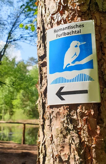
Route markings
Tour information
Familiy-Friendly
Labelling
Loop Road
Nature Highlight
Premium Trail "Wanderbares Deutschland"
Premium Trail German Hiker Seal
Equipment
Directions & Parking facilities
Always know what's running: The smart number for buses and trains in NRW: 01806 504030 (20 cents/connection from landlines and a maximum of 60 cents/connection from mobile networks.)
Additional information
Literature
License (master data)
Stadtmarketing Schloß Holte-Stukenbrock
Author´s Tip / Recommendation of the author
By the way: the trail is also ideal as a challenging jogging route...
Safety guidelines
The route is not suitable for baby carriages.
Map
Social Media


