- 1:46 h
- 5.93 km
- 155 m
- 155 m
- 170 m
- 322 m
- 152 m
- Start: Parking lot Bonstapel
- Destination: Parking lot Bonstapel
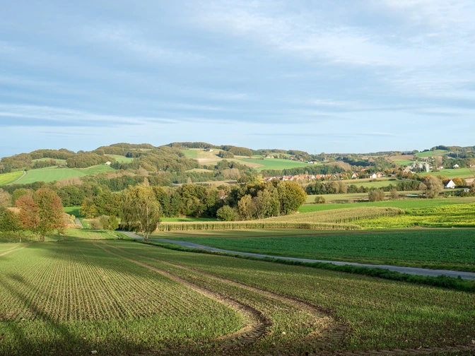
Experience nature on foot at an altitude of up to 300 m and over a distance of around 5 km. Around 20 years ago, the "Bonstapel Nature Trail" was created in Vlotho to bring people closer to nature and bring nature closer to people.
This very attractive circular trail stretches for around 5 km through the valley of the upper Linnenbeeke, past the mysterious "Seven Springs" up to Röntorfer Straße, past the Steinbründorf refuge between Nettelberg and Grosser Selberg and then back down the Kleiner Selberg to the starting point on Hohenhausener Straße.
A total of 14 information boards along the way provide walkers with interesting information about the flora and fauna living there and point out other places of interest.
Good to know
Best to visit
Tour information
Labelling
Loop Road
Nature Highlight
Tour with Dog
Directions & Parking facilities
License (master data)


