- 2:13 h
- 8.14 km
- 123 m
- 120 m
- 133 m
- 223 m
- 90 m
- Start: Borchen Town Hall, Unter der Burg 1, 33178 Borchen
- Destination: Borchen Town Hall, Unter der Burg 1, 33178 Borchen
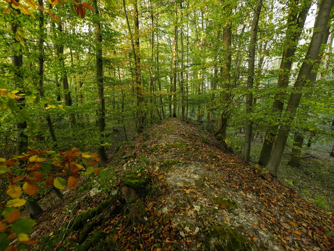
Starting at the stone cist graves in Kirchborchen, this beautiful nature trail takes you through the fields to the vicinity of the BAB 33 highway route, where a detailed replica of a barrow grave, probably unique in North Rhine-Westphalia, has been created. The next stage of this educational trail is the Iron Age hillfort near Gellinghausen with its monumental gate and ditch complexes. The trail leads through the Altenautal valley back to Kirchborchen. Here, the parish church of St. Michael with its fortified tower, the landmark of the municipality of Borchen, is the final destination of the archaeological-historical nature trail.
Good to know
Best to visit
suitable
Depends on weather
Tour information
Cultural Interesting
Familiy-Friendly
Good Connection to public Transport
Labelling
Loop Road
Suitable for Winter
Tour with Dog
Equipment
Sturdy shoes are recommended.
Directions & Parking facilities
The municipality of Borchen is well connected to the A33 via the "Mönkeloh", "Borchen" and "Borchen - Etteln" exits.
Free parking spaces and 2 camper van parking spaces are available at the town hall in Borchen
Address: Unter der Burg 1, 33178 Borchen
Address: Unter der Burg 1, 33178 Borchen
Stop: Ettelner Str.
Nahverkehrsverbund Paderborn/Höxter
Always know what's running: The smart number for buses and trains in NRW 01803 504030 (timetable information for €0.09/min. from a German landline, mobile max. €0.42/min.)
Nahverkehrsverbund Paderborn/Höxter
Always know what's running: The smart number for buses and trains in NRW 01803 504030 (timetable information for €0.09/min. from a German landline, mobile max. €0.42/min.)
More information
On the Borchen town hall parking lot, there are 2 free motorhome parking spaces with electricity (0.50 euros per kWh), fresh water (0.50 euros per 50 liters) and disposal facilities. Further pitches are available.
License (master data)
Social Media


